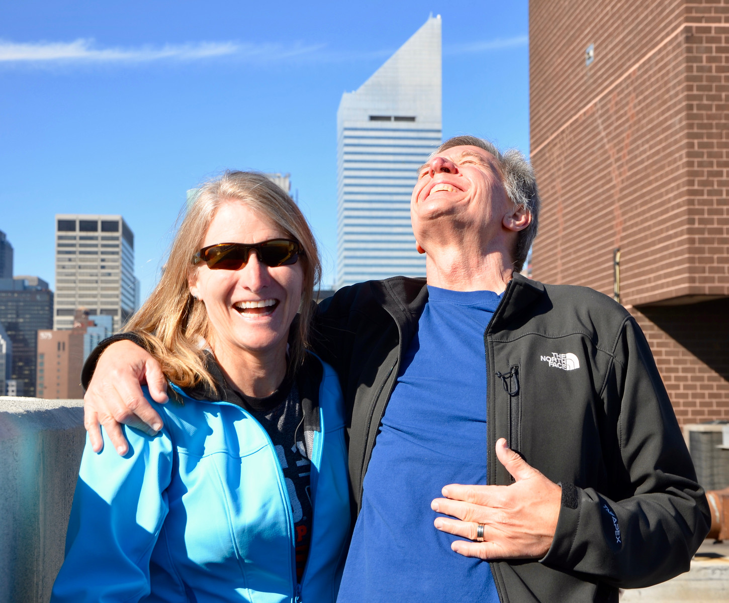
Growing up, I looked forward to the National Geographic magazine landing in our mailbox every month. Often those issues included a beautiful map that I would unfold and pore over, sometimes for hours. On our family room bookshelf, next to the worn Websters Dictionary and an entire set of the Encyclopedia Brittanica, was a large atlas binder which stored all of those National Geographic maps, carefully glued in place. It was both a reference source and a book of imagination. All of these years later, I can still spend hours with a paper map, using my finger to follow rivers, traverse mountain ranges, and navigate entire regions of the world using latitude and longitude lines.
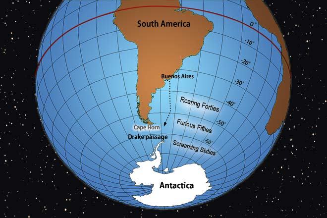
That old map book came to mind during the latter days of our Patagonia adventure. A couple of weeks earlier, on our first hike in Ushuaia, our local guide was amused at how awed we were by the legendary Patagonia wind. At the time, I didn’t think much about his explanation of the “Roaring Forties” and “Furious Fifties” or his offhand comment “wait until you get to Torres del Paine”.
The southern hemisphere’s Roaring Forties and Furious Fifties, it turns out, are notorious latitudinal zones, known for their violent westerly gales, caused when warm air from the equator drops south to meet cold air traveling north from Antarctica. These winds swirl across the southern hemisphere from west to east with very few land masses to slow them down, making them much more potent than the winds at 40° N, where large land masses like the Continental Divide obstruct the airstream (Denver sits precisely at 40° N).
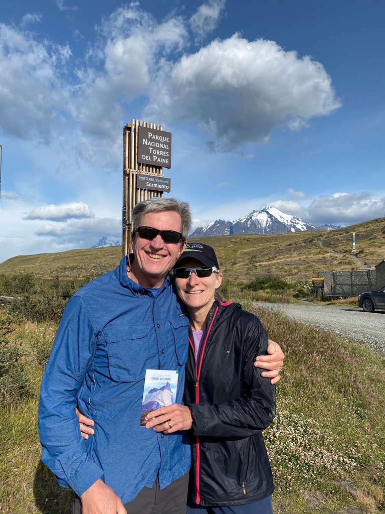
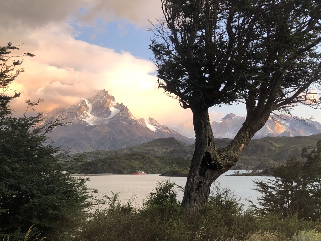
It all made sense when we arrived at Chile’s Torres del Paine National Park, which lies at a latitude of 51° S and has some of the harshest weather on Earth with winds known to routinely reach up to 100mph.
This would explain why, as we stepped out of the van, we all looked like those ridiculous meteorologists forced to stand in a wind tunnel to simulate the power of hurricane-force winds. At times, the only way to remain upright was to hold on to someone and hope you didn’t go flying like a tumbleweed. This was nuts.
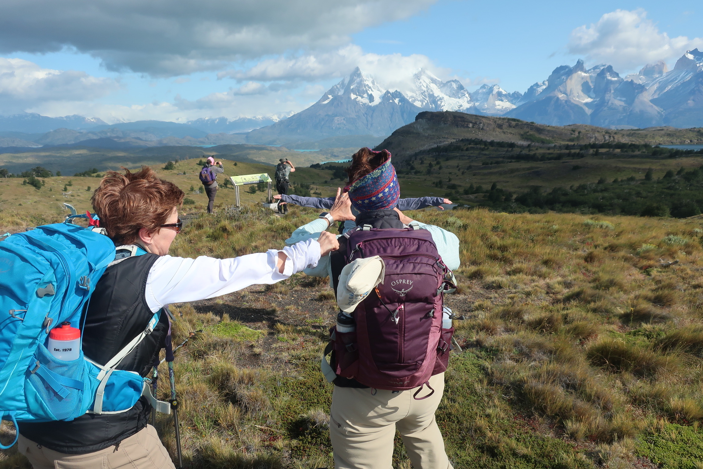
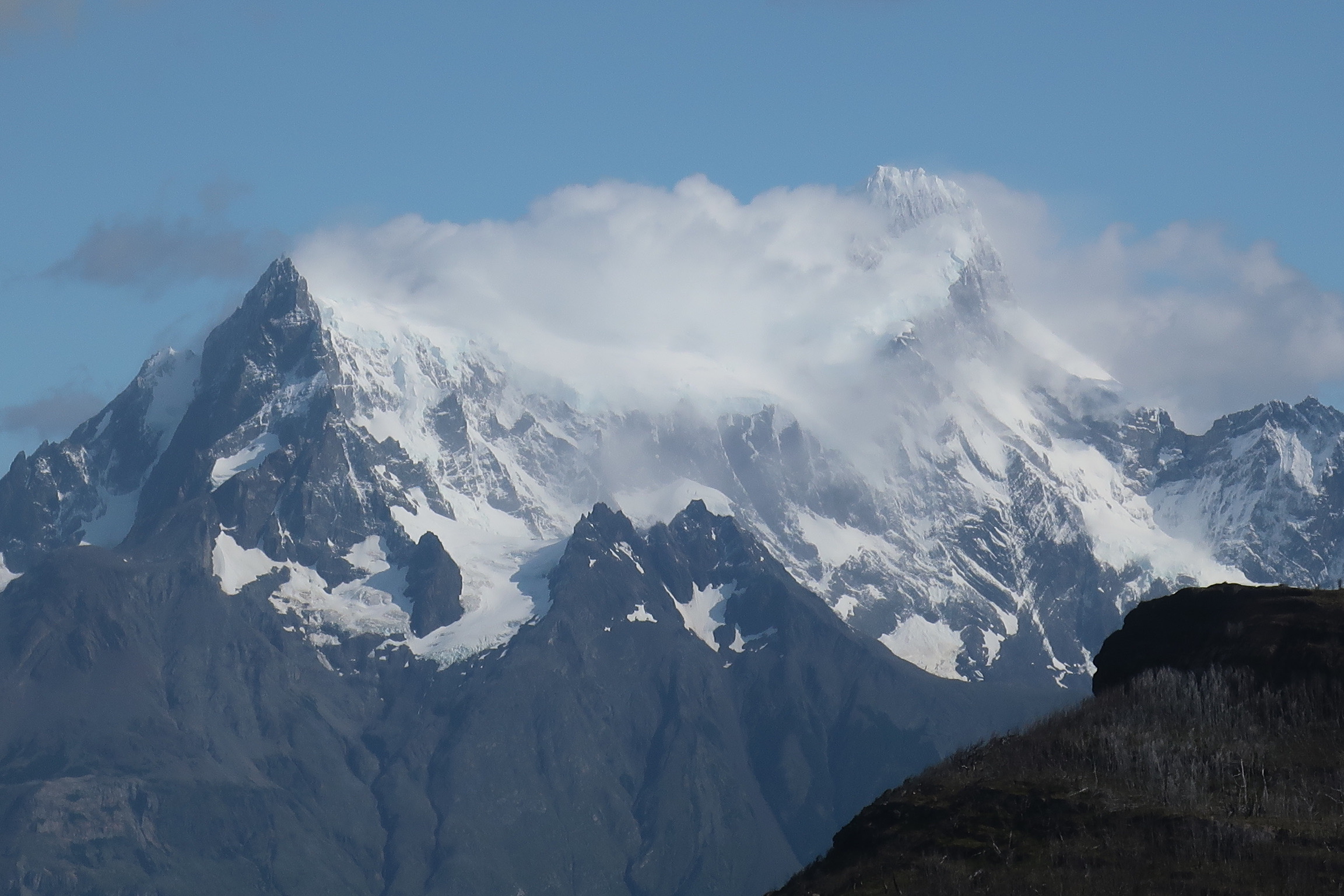
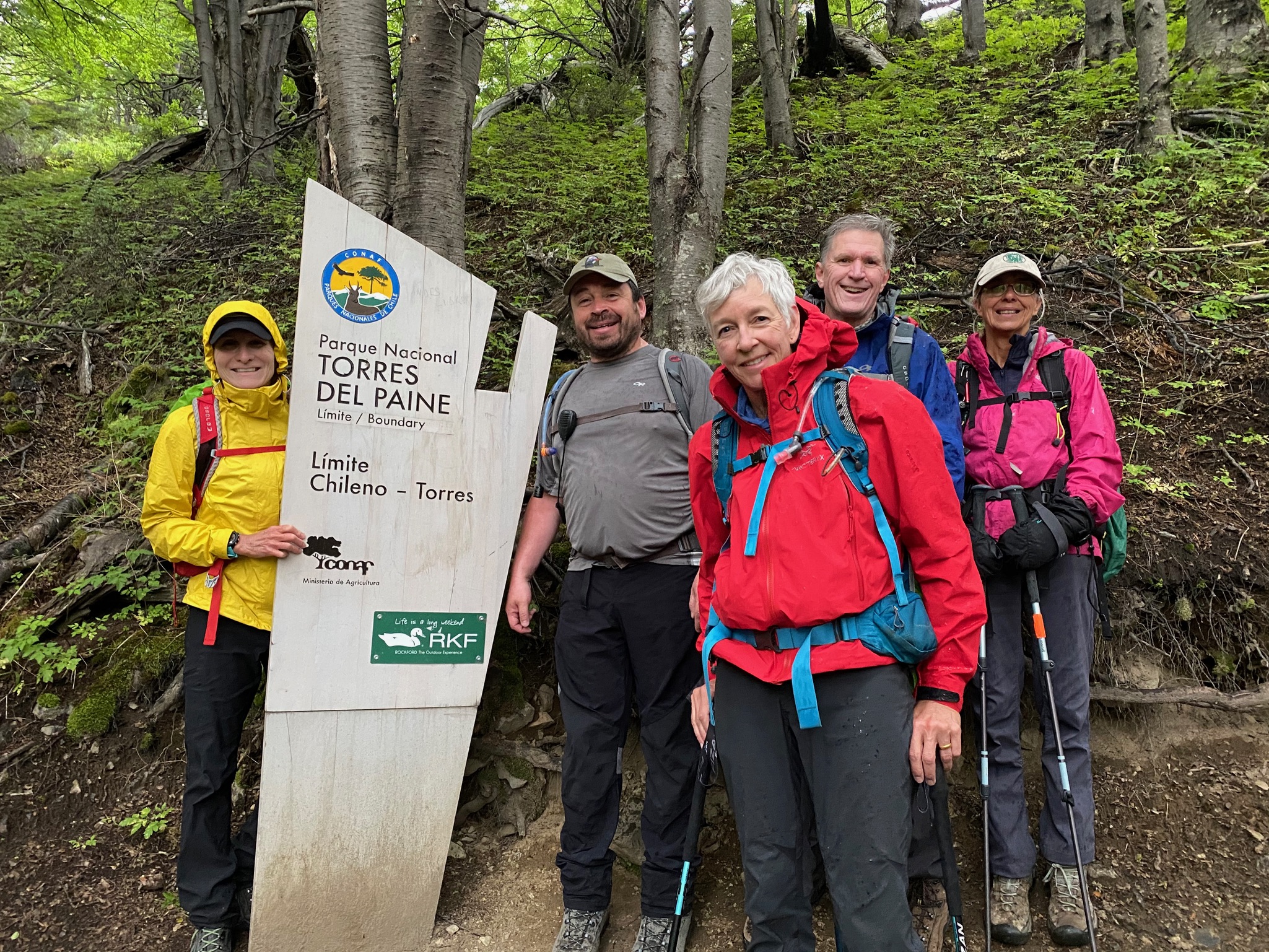
Three immense granite towers give Torres del Paine its name, Spanish for “Towers of Paine”, with paine ( pronounced PIE-nay) an old indigenous word meaning blue. The towers are just one part of the Cordillera Paine, a mountain range that rises between wide glacial valleys. By human standards, the mountains of Cordillera del Paine are quite old. But compared to the Rocky Mountains (up to 70 million years old) and the Appalachians (480 million years), the Cordillera del Paine are actually very young – only about 12 million years old. We would spend three days in the national park with our final hike taking us to the base of the towers.
We were eleven days into our journey when we entered Torres del Paine, and although we’d spotted a wide variety of wildlife, there was one very special and notoriously elusive species that we were still on the lookout for. El puma, vigilante de la montana. The cougar, guardian of the mountain. And then suddenly, this powerful creature appeared.
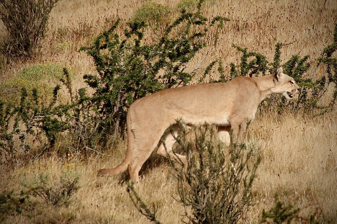 As our guide spotted this puma in the distance, he safely pulled off the road and we watched as it moved across the landscape. Similar to mountain lions in California, the hermit-like Chilean puma can weigh up to 220 pounds, run at speeds of up to 50 miles per hour and jump as high as 18 feet. Our guide guessed that this was a full grown puma, measuring about 8 feet long. We celebrated our good fortune to receive a gift from nature… from a safe distance.
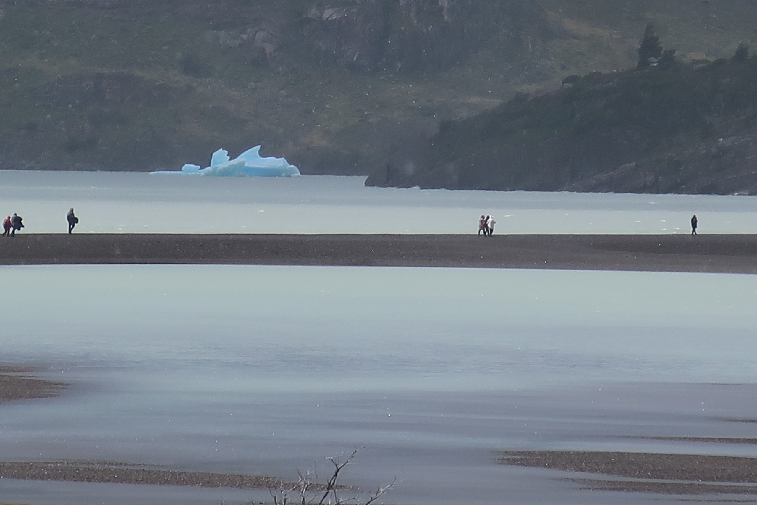
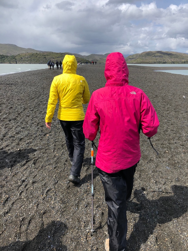
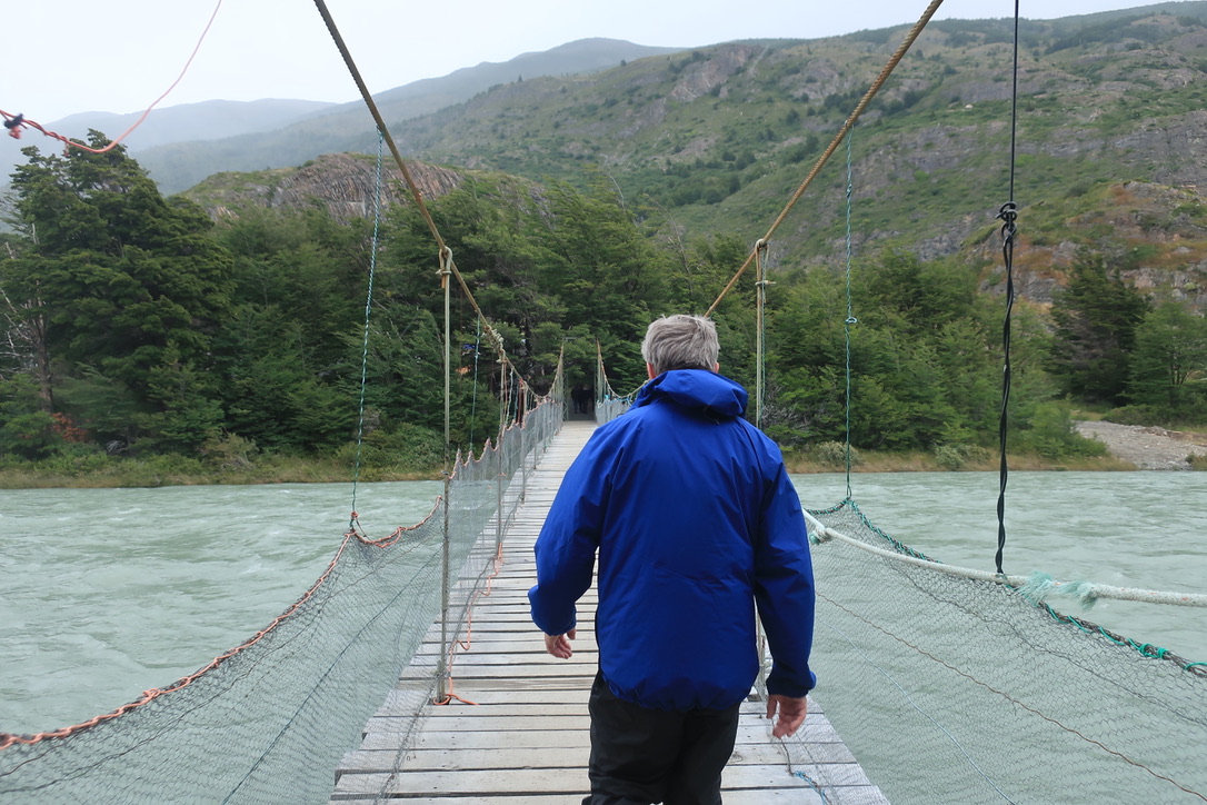
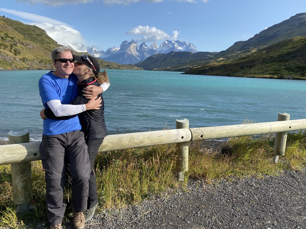
Our first hike in Torres del Paine took us on a sandbar across Lago Grey, with icebergs floating in the distance, and a suspension bridge spanning a river of glacier water. Our destination was an outlook that would normally provide a spectacular view of Grey Glacier but, unfortunately, low hanging clouds and mist had settled over the glacier and hid it away.
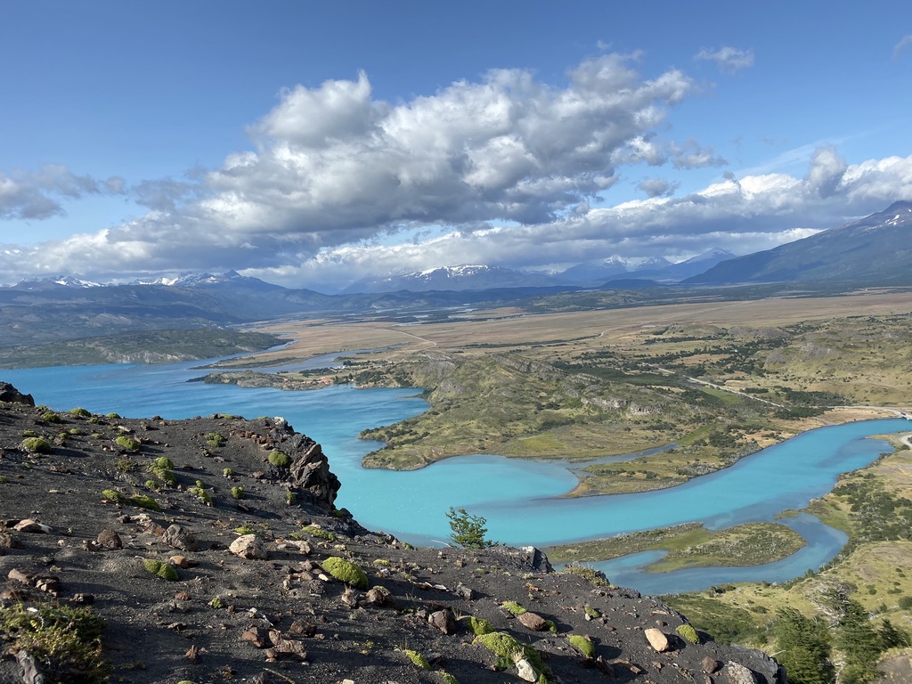
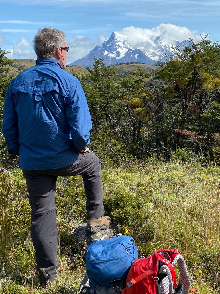
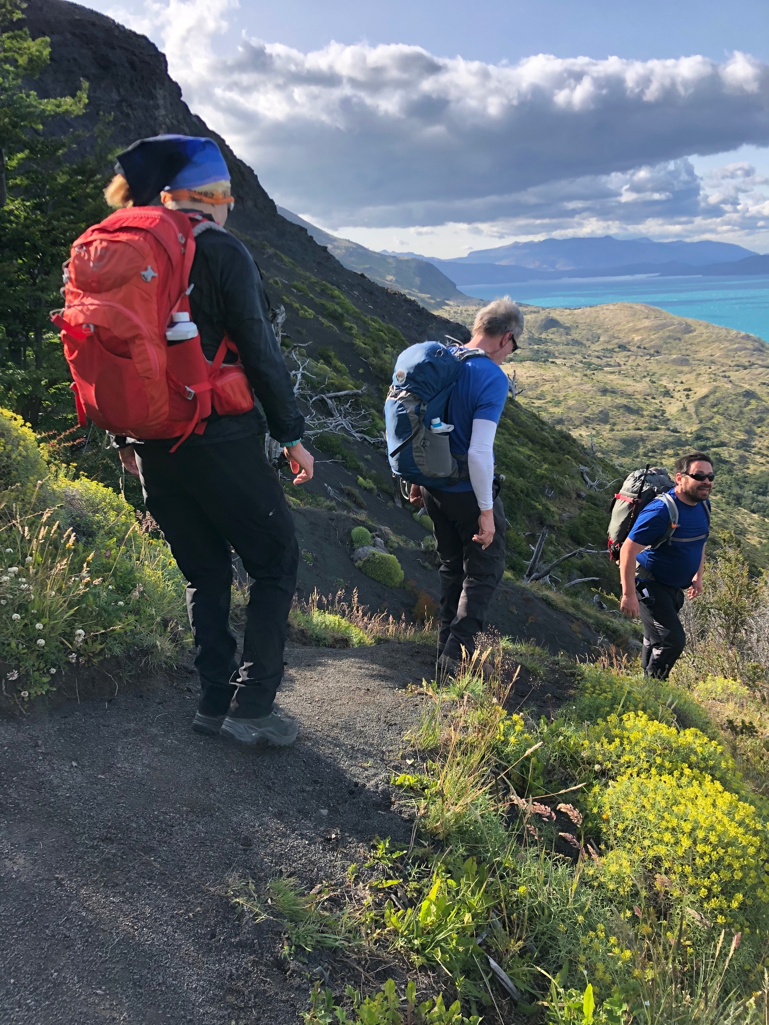
On our second day in Torres del Paine we said goodbye to Lago Grey and headed deeper into the park for a tough hike with views of the Cordillera del Paine range. After a short warm up, the trail suddenly went straight up and we were trudging through sand. All we could do was plant our poles, pull ourselves upward, slide a few inches backward, and do it all over again until we were standing at the summit breathless. Once at the top, the views were stunning as the trail followed a ridge line for several miles before descending back down to the glacial valley.

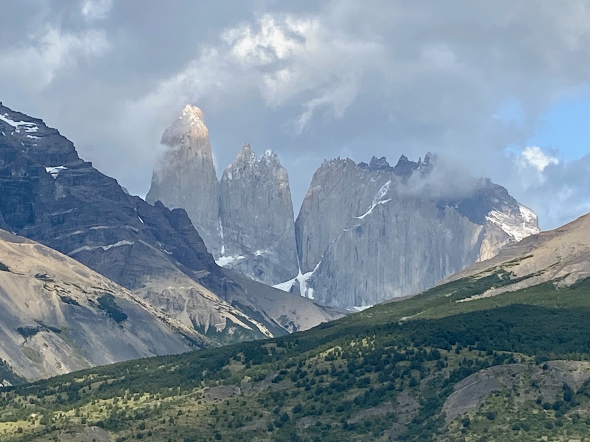
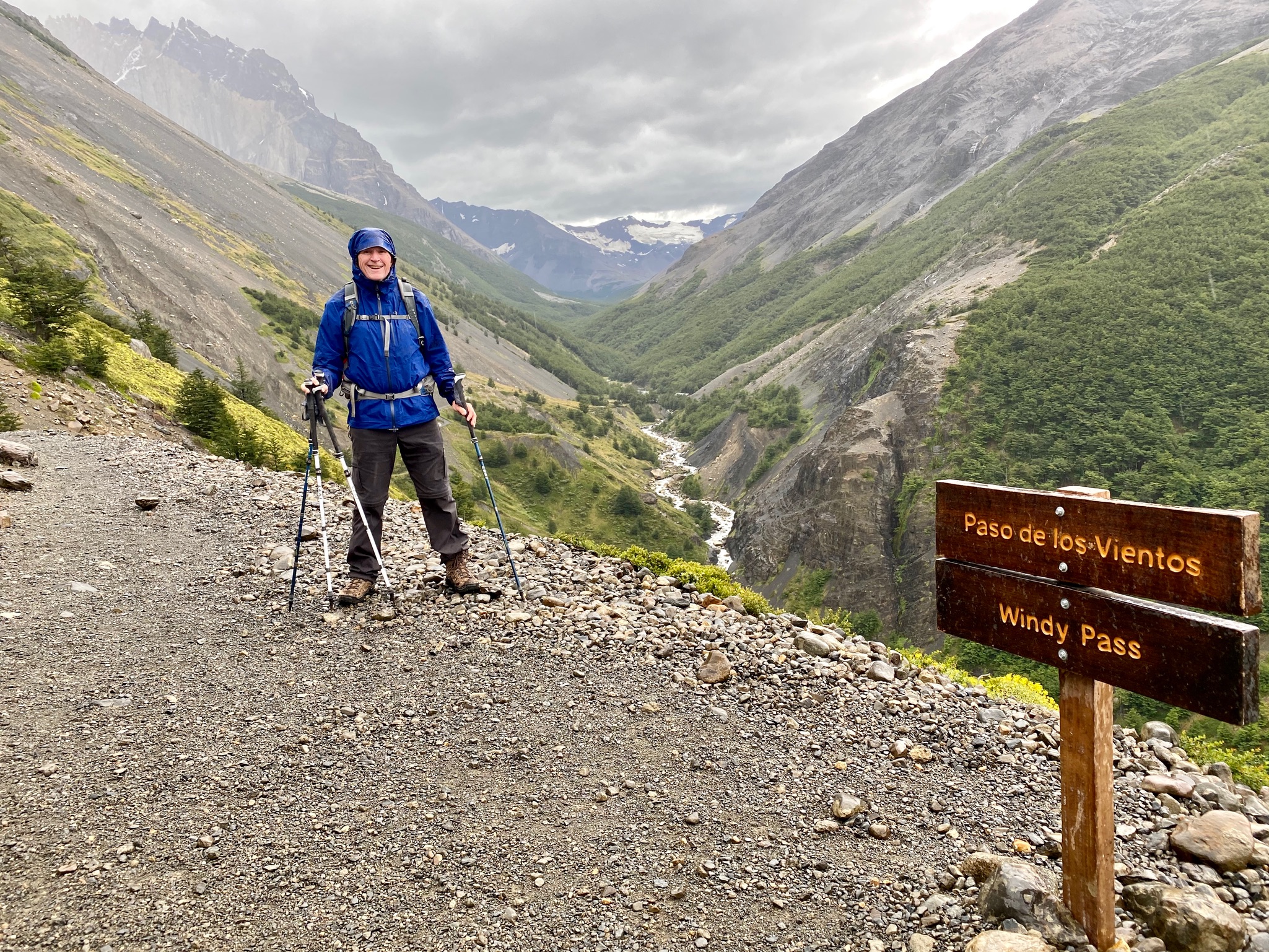
Our last day in Torres del Paine featured what was billed as the ” grand finale hike”. If the weather cooperated, we’d hike right to the base of the three massive towers and sit in awe of them. We set out from our lodge and headed toward the Valle Ascencio, where we would begin the long climb up to the towers. The forecast showed zero chance of rain but it’s Patagonia so, naturally, a cold rain began falling about one mile into our twelve mile roundtrip hike. Undeterred, we dug out our raincoats and headed up through the pass. The rain fell harder, the trail became muddy, and the towers disappeared. We paused briefly to get out of the rain at a rustic outpost about half way up the trail. The skies kept pissing rain and soon we were breaking out the rain pants. Soaking wet, we kept moving forward until deciding that hiking the final section to the base of the towers would take too long and be too dangerous. So, the “grand finale hike” was slightly less than grand but there were hot showers and beer on tap waiting for us back at the lodge. All in all, a good day.
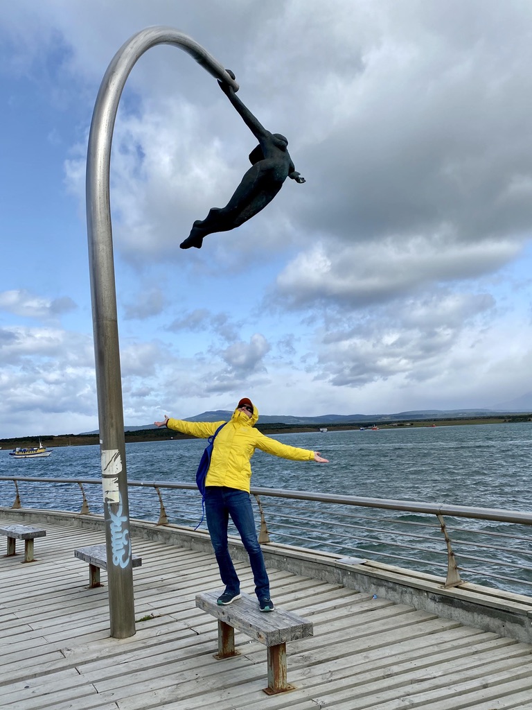
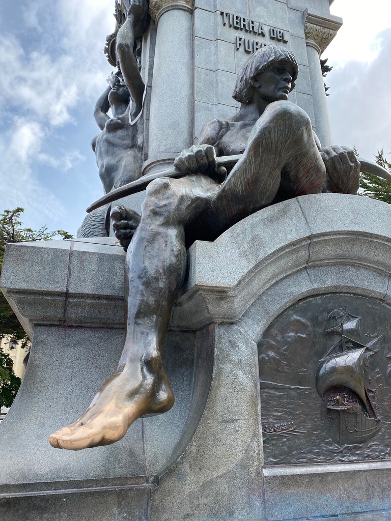
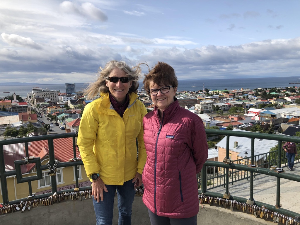
The final leg of our “In Patagonia” Wilderness Travel trip took us to Punta Arenas, Chile, which sits on a peninsula just north of the Strait of Magellan. The strait is a natural passage between the Atlantic and Pacific oceans and is named after Ferdinand Magellan, who first traversed it as part of a Spanish expedition in 1520. Although he is commonly credited with “discovering” the strait, indigenous peoples had navigated it in canoes long before Magellan showed up. Punta Arenas was originally established as a penal colony in the mid 19th century and has a long history of social protests. Riots had broken out several months prior to our visit, triggered when Chile’s president announced a 4% hike in fares for Santiago’s metro service. Protests spread nationwide, encompassing broader issues impacting living conditions in a country that ranks as one of the worst among developed democracies for income inequality. These were the largest demonstrations of their kind since the country returned to democracy following the military dictatorship of Augusto Pinochet in the 70s and 80s. Walking around the city we saw evidence of the unrest, from widespread graffiti to vandalized monuments. We felt safe walking in the city centre but after spending two weeks hiking in remote sites at the end of the earth, it was a rude return to civilization. There was also word of a virus from China that seemed to be getting a lot of attention. Hmmm.